B Block Geography 12 - Today we'll work on the foundations of Geography starting with the Five Themes. In order to understand the increasingly complex and interconnected world we live in we need to find a way to make sense of information in a way that doesn't overwhelm us. The Five Themes (Location, Place, Human-Environment Interactions, Movement, and Regions) are a framework for making sense of geographic data. After this I'll give you time to continue your observing as a geographer activity from yesterday's class.
A Block Social Studies 11 - I'd like you to watch the Shane Koyczan spoken word performance of his poem "We Are More" from the opening ceremony at the 2010 Winter Olympics in Vancouver...
...but we are more
than genteel or civilized
we are an idea in the process
of being realized
we are young
we are cultures strung together
then woven into a tapestry
and the design
is what makes us more
than the sum total of our history
we are an experiment going right for a change...
Now (also from the 2010 Olympics) see how Tom Brokaw explained Canada to Americans...
So from (of all places) the British Broadcasting Corporation here's my question:
Canada is anything but a homogenous Commonwealth state; nearly one million indigenous people rub shoulders with immigrants from around the world, including many from Asia. What does it mean to be Canadian now? What are the traits which help make up modern-day Canada? This is a question that we'll come back to over and over again in the course and I'll ask you to revisit your answer in June, but for now write me a paragraph or two about what you think it means to be Canadian (the traits that make up modern day Canada) and I'll take it from you next Tuesday.
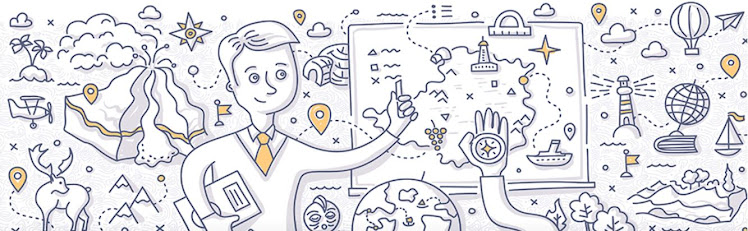
D Block Social Studies 10 - Today we'll present our maps that we produced in groups yesterday. I put this on the blog yesterday but to reiterate, why did I ask you to do a large scale mental map? Our activity today is/was to collectively create mental maps of Canada. This was a difficult experience considering the constraints I placed upon you (especially the no talking edict) but I did so for a reason. Maps are subjective because they are made by people to represent data in a specific way. What you did yesterday was a highly complex activity working through non-verbal communication skills in order to collectively represent data in a graphic format (encoding rather than decoding). You had to negotiate a diverse set of frames, or points of view, with different sets of data in order to build something that represented your collective knowledge of Canada.
What do maps show? Professor Michael Peterson from the University of Nebraska (Omaha) said:
The purpose of a map is to show
the world at a smaller scale so that we are able to get a sense of where things
are located in relation to one another, and that we can have a better
understanding of different patterns in geographical space. Maps are also
valuable in that they are useful for gaining knowledge of patterns in geographic
space and expanding our understanding of navigation. They are important to show
trends in things as weather, population and growth. They are a visual source
where spatial messages are transmitted from a cartographer to everyday people
like you and me.
So maps are a language...the language of
geography and today we'll look at some map basics. We'll look at latitude, longitude, and time zones. We'll brainstorm some class
notes together on the topic. We'll also spend some time on Google Earth (right
now I'm sitting at 49 degrees 42 minutes 32.62 seconds North and 124 degrees 59
minutes 51.09 seconds west). After this we will work in the Geographic
Understandings book (they're the green geography books in the class). You'll
need to complete the following questions on latitude & longitude, map grids,
direction, and distance:
- Page 3 and 4 questions 2, 3, 4, & 5a
- Page 7 questions 1, 2, 3 and 4
No comments:
Post a Comment