Today's schedule is C-AG-D-A-B
D Block Social Studies 10 - Today we'll draw large scale mental maps of Canada in groups.
You need to include as much detail about the political geography
(provinces/territories/borders/capitals) and physical geography
(lakes/oceans/mountains/rivers/islands) as you can. When we finish, we'll share
our maps and discuss why it is difficult to conceptualize and graphically
represent our country. If there is time remaining, we'll begin a lab exercise on
latitude, longitude, and time zones. We'll finish that activity tomorrow and
start looking at the five themes of geography.
So why did I ask you to
do a large scale mental map? Our activity today is/was to collectively create
mental maps of Canada. This was a difficult experience considering the
constraints I placed upon you (especially the no talking edict) but I did so for
a reason. Maps are subjective because they are made by people to represent data
in a specific way. What you did yesterday was a highly complex activity working
through non-verbal communication skills in order to collectively represent data
in a graphic format (encoding rather than decoding). You had to negotiate a
diverse set of frames, or points of view, with different sets of data in order
to build something that represented your collective knowledge of Canada.
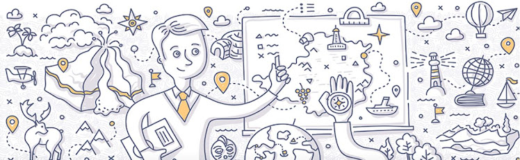
What do maps show? Professor Michael Peterson from the University of
Nebraska (Omaha) said:
The purpose of a map is to show the world at a
smaller scale so that we are able to get a sense of where things are located in
relation to one another, and that we can have a better understanding of
different patterns in geographical space. Maps are also valuable in that they
are useful for gaining knowledge of patterns in geographic space and expanding
our understanding of navigation. They are important to show trends in things as
weather, population and growth. They are a visual source where spatial messages
are transmitted from a cartographer to everyday people like you and
me.
So maps are a language...the language of geography and
today we'll look at some map basics.
A Block Social Studies 11 - Today we'll see what geographic information we know of other regions in Canada
and we'll look at stereotypes of Canadian regions and examine why we have them.
We'll try to figure out what the concept "regionalism" means, see how it is
affected by our stereotypes, and determine how regionalism causes challenges to
Canada as a country (NOTE: This will be a common and recurring theme throughout the course and we'll
first identify it in the "rep by pop" section in our government unit). This is connected to my question to you today:
In BC we have more
in common with someone from Seattle or San Francisco than we do with someone
from Saskatoon or St. John's. What is good for BC is not necessarily what is
good for Saskatchewan or Newfoundland and Labrador. We are more concerned with
hospital beds in Kelowna, stumpage fees for trees pulled out of Clayoquot,
schools closing in Vancouver, ferry costs from the Island and wether the Canucks
will make the playoffs (well I don't). We're more concerned about BC than what's east of the
Rockies. The same could be said for southern Ontarians, Quebecois, Albertans,
Maritimers, Newfoundlanders, and people of other regional areas. Canada isn't a
country, it's a patchwork of self concerned regions so much so that Canada
doesn't make sense as a country. Now tell me I'm wrong and tell me
why."
To see reactions to Canadian stereotypes think back
to the Molson Canadian advertising campaign "I am Canadian" For more on Canadian
stereotypes look at the following websites:
Canadian Cliches
B Block Geography 12 - Today we'll work on learning to observe as a geographer would where we'll look
beyond simple observations and try to see a larger picture with connections to
the wider world. We'll practice an analysis of a photo in class and you'll start
working on your first assignment for the course which is a geographic analysis
of a photo from a Canadian Geographic magazine. You'll need to use the Observing
as a Geographer Would questions (in your week 1 package that you'll get today)
to help with your analysis.
Nestled away, in the back corner of G.P. Vanier, you'll find room 115 (we used to be 611). Lurking in the shadows of this room is Mr. Young...waiting to pounce on unsuspecting students and natter on about volcanoes, hail, psychopathy, criminal law defenses, cultural diffusion, media theories, crime, and urban models of city development. He loves his job in 115 and can't wait to work with you this year.
No comments:
Post a Comment